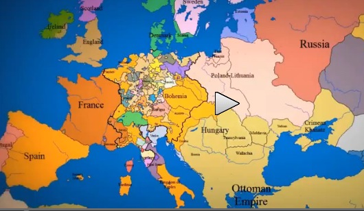
Watching country sizes and borders change is fascinating and the video is surprisingly short – at just a tad over three minutes long. What is now Poland was Lithuania for quite a long time … During a period of several hundred years, much of Europe between today’s France and Poland were very small but individual countries which have either expanded or been absorbed by other nations. Spain has mostly been a single country but changes color on this time lapse portrayal – I don’t know what that means in the context of changing national borders.
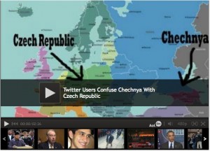
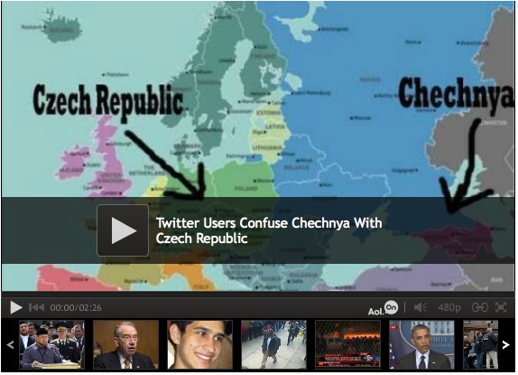
Czech Embassy issues statement: We are not Chechnya
 I mention to people fairly often that I don’t know where countries are because geography isn’t taught in US public schools. Here, we have something called “Social Studies” instead of history or geography, which is supposed to teach how people in different cultures live and think. But wow! The world is finite and countries change borders or names fairly infrequently. Can’t we take a few months in one of the early school years to focus on teaching US students where other countries are on the world map? People from every other country I’ve ever met learn this in school at a pretty young age. Only in the United States, our students don’t know.


